Kent County is in the southeast of England, between Greater London and the coast of the English Channel. It is one of the counties that is closest to continental Europe and has important historic towns, ports, and coastal towns. Because of where Kent is located, it is a gateway region. Its southern and eastern edges have strong maritime links and clear coastal landscape features.
Regional Position of Kent County in Southeast England
Kent is situated to the southeast of London and borders several counties while also facing the English Channel. Its eastern side looks toward the Strait of Dover, where the distance to France is relatively short. Because of this placement, the county has long been important for travel routes and coastal observation.
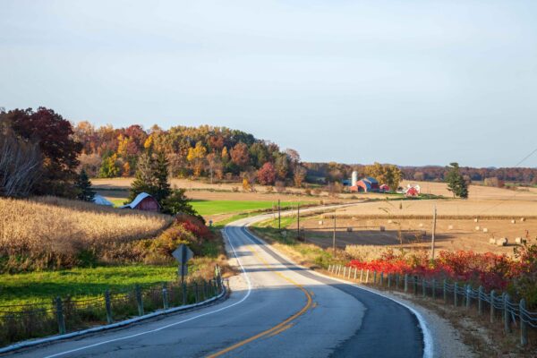
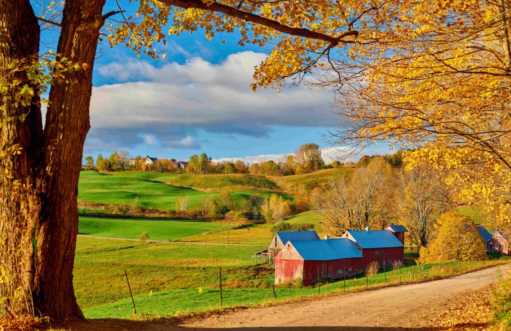
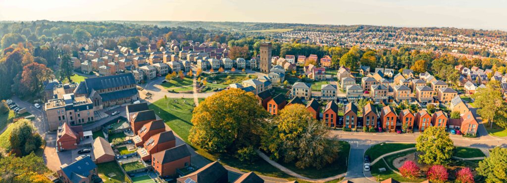
The county includes both inland countryside and extended coastal zones with cliffs, beaches, and harbors. Major towns and settlements are distributed across the region, forming a mix of urban centers and rural landscapes. The proximity to the capital also influences transport connections and regional movement patterns.
Important geographical features of the Kent location
- Southeast of England
- The English Channel is the coastal boundary.
- Close to the crossing point of the Strait of Dover.
- Next to Greater London and other counties.
Coastal Landscape and Natural Boundaries
The natural boundaries of Kent are strongly defined by the sea on the south and east sides. Coastal cliffs, especially chalk formations, create a distinctive visual identity. Inland areas transition into agricultural land, small towns, and wooded sections. The contrast between coast and countryside is a central geographic feature.
The coastline includes well–known cliff areas, harbor towns, and seaside environments shaped by maritime climate. Wind exposure and salt air influence vegetation and settlement structure near the shore. Inland zones are generally more sheltered and suitable for farming and residential development.
Notable natural elements of the county landscape:
- Chalk cliffs along the coast.
- Rolling countryside and fields.
- Coastal towns and port areas.
- River valleys crossing inland sections.
These features show the diverse terrain contained within the county borders.
Administrative Context and Settlement Distribution
Kent is made up of several districts and has a number of historic towns that have been growing for a long time. Dover, Canterbury, and Folkestone are all important nodes in the county’s spatial structure. Trade, religion, or coastal defense were important to the growth of each town.
There are roads and railroads that connect inland areas of Kent with ports on the coast. This makes it even more of a transit region. Roads and rail lines often follow old paths that connected London to the coast of the Channel. This network shows that the county is a connection zone, not an isolated area.
Today, people think of the Kent County area in England as a strategically important place because it is close to the coast, has a long history of settlement, and is between the capital and continental Europe.